
Harmon Covered Bridge
Indiana County, Pennsylvania — PA/38-32-04
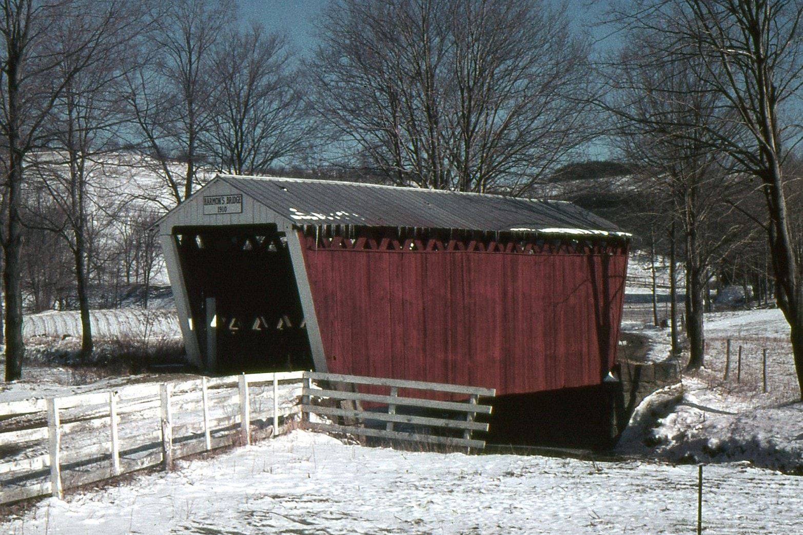
🔍 Enlarge
Historical Photo 1967

🔍 Enlarge
Current Photo 2018
Bridge Details
| World Guide Number | PA/38-32-04 |
| Also Known As | Harmon's Bridge |
| County | Indiana County, Pennsylvania |
| Stream | South Branch Plum Creek |
| Truss Type | Town |
| Year Built | 1910 |
| Length | 46' |
| GPS Coordinates | 40.73402, -79.17555View Map |
Directions
1.6 miles east of PA 954 and the east edge of Willet on Five Points Rd. (SR 4006), then 0.1 miles right on the right side of Donahue Rd. (TR 489).